polegli 1939 - map portal
Przejdź do mapy prezentującej informacje o poległych żołnierzach. Możliwość wyszukania po nazwisku, oddziale, miejscu zgonu.
Register a soldier
Survey to report information about a fallen soldier. Data will be verified and entered into a database.
Polegli1939.pl
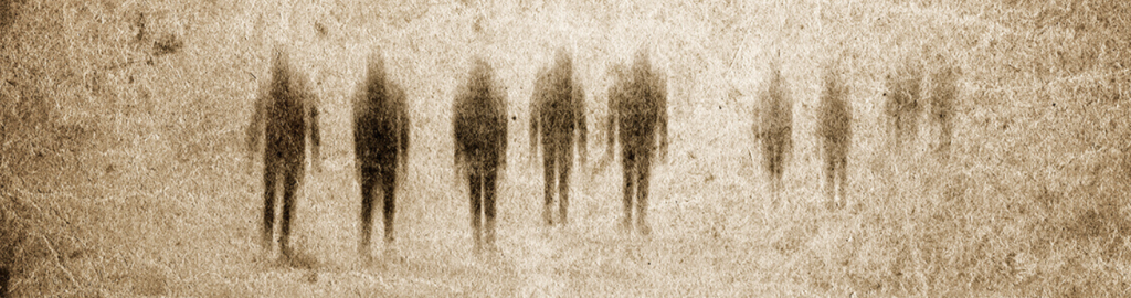
The inspiration for the polegli1939.pl project came from family history and, more precisely, from a lack of information regarding the place of burial of a family member who died during combat in the September Campaign of 1939. This gave rise to a strictly scientific question: does the collection of as complete as possible data on specific individuals in space and time, related, for example, to military operations, make it possible to uncover hitherto unknown facts, such as marching routes, locations of potential places of death or burial of soldiers. Moreover, the development of a spatial database will allow for analyses aimed at juxtaposing tactical issues and natural conditions with the course of battles and their demographic impact.
These issues have become the impetus for developing a platform that will make it possible to obtain, verify, collect and share data on Polish soldiers killed in armed conflicts. The project also aims to activate all interested parties to jointly build a database of the fallen and missing. This will make it possible to obtain information and, consequently, to learn about the fate of people who have not yet been duly commemorated.
Partners
Individuals, institutions and companies we cooperate with. We invite all interested parties to contact us.

They wrote about us
Przestrzeń, czas, człowiek…. wstępnych słów kilka.
Artykuł na stronie ArcanaGIS.
Artykuł: Wirtualny cmentarz – sprawdź, gdzie pochowani są twoi przodkowie
Projekt polegli1939.pl – wspomaganie badań narzędziami GIS | seminarium
Wywiad doktora Mateusza Zawadzkiego udzielony w TVP3 Lublin

Projekt polegli1939.pl – wspomaganie badań narzędziami GIS

Zapowiedź seminarium o projekcie i użytych narzędziach GIS

Wywiad przeprowadzony z autorem projektu dr Mateuszem Zawadzkim
Artykuł opisujący metody wykorzystane w realizacji projektu
Project leader
Website and application
Project team
Studenckie Koło Naukowe Geoinformatyków GeoIT UMCS
Maria Stadnicka, Alicja Nieć, Sandra Chrustowska, Wiktor Mróz
Consultants
Urszula Borchardt, Joanna Napierała, Michał Lupa